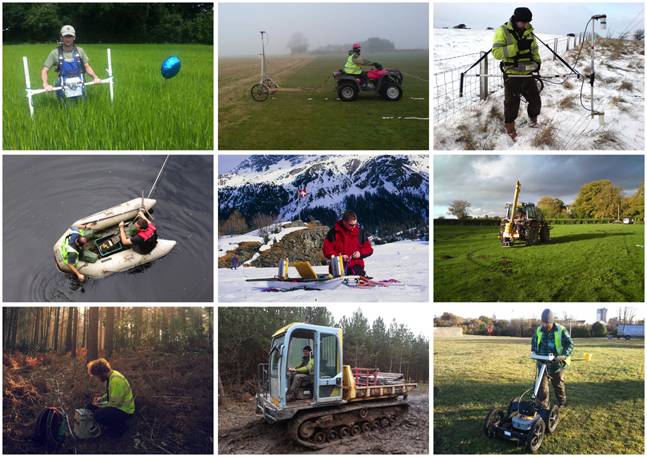

Geophysical surveys are an innovative, state-of-the-art ground investigation technique. TerraDat are geophysical specialists in all the techniques that measure physical contrasts in the subsurface to locate buried targets.
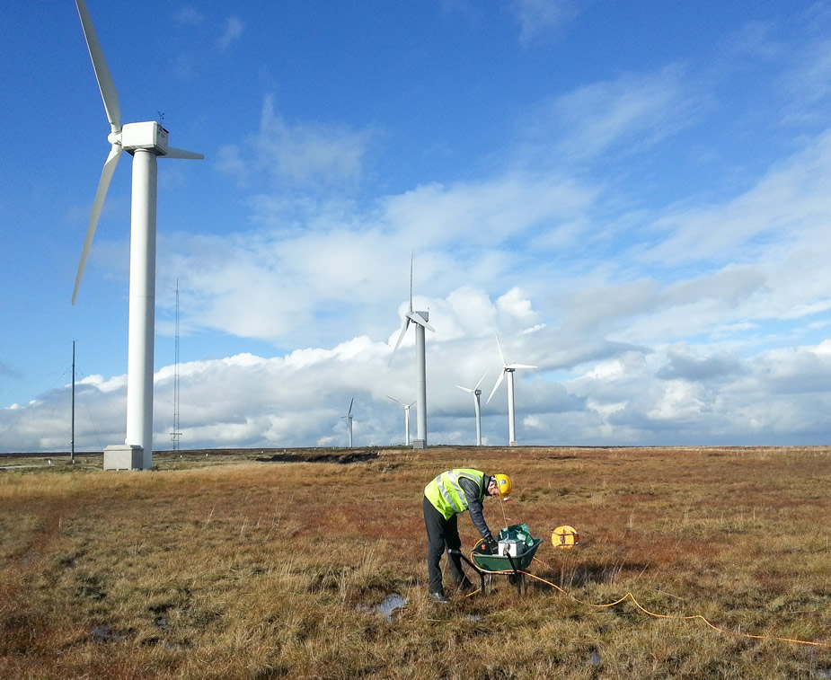
We apply these across a wide range of sectors, including civil and geotechnical engineering, mineral exploration, environmental monitoring, renewable energy, the water industry and archaeology.
Why use Geophysics?
Geophysical surveys should be a routine part of most ground investigations for civil engineering projects and mineral exploration. The use of geophysics often represents the only way of achieving total ground coverage to ensure targets are reliably identified and imaged prior to invasive work. The points below outline the clear advantages of using our services
Low Cost – Geophysical surveys offer remarkable value for money when compared to more conventional site investigation techniques alone. The value of the information acquired combined with the reduced cost from an optimally designed follow-up invasive investigation easily exceeds the original outlay – not to mention the reduced legal implications of failing to use all the common tools for site investigation available and missing the target as a result.
Rapid Coverage – TerraDat geophysical surveys can cover up to 2-6 hectares of land on an engineering or brownfield-scale project in one day. A much greater area can be surveyed where larger targets, such as mineral prospects, are involved. If surveys are carried out along profiles, up to 5km can be acquired depending on the method. Sometimes, it is possible to deliver draft results of anomaly locations whilst on site (subject to final data processing and analysis). All our surveys are tied into National Grid coordinates or local site grids, making relocation of anomalies simple and accurate.
No Exposure to Buried Hazards – Because geophysics surveys are non-invasive, neither operators nor other people on site are exposed to hazardous material. There is also no risk of inadvertently exposing toxic materials to the environment.
Minimal/ No Surface Disturbance – Since little or no ground penetration is required, geophysical surveys can be carried out in urban areas, highways or landscaped environments without disturbing the surface.
Easy to Comprehend – We take special care to present our findings in a format that can be easily understood and integrated with other site datasets by non-geophysical specialists. The results are presented as scale engineering sections or annotated plans that clearly define the features of interest for the Client.
Integrated Capability – We own all of our survey equipment, which enables the selection of the most suitable method to use on-site without compromise. Our survey teams can respond efficiently to unforeseen ground conditions and optimise survey design while on site.
Low Risk – We understand that some customers may be unfamiliar with geophysics or the recent advances brought about by modern instrumentation.
Consequently, as standard, we provide free consultation for the Client from the initial design stage right through to post-report discussion. Our objective is to ensure the job brief is met efficiently by optimal survey design within the site investigation budget. Our approach has proven very popular over the years, with the main body of our work coming in the form of repeat custom.
For our 3D Mapping and Aerial Survey Services, please visit our separate site: https://uas.terradat.co.uk/