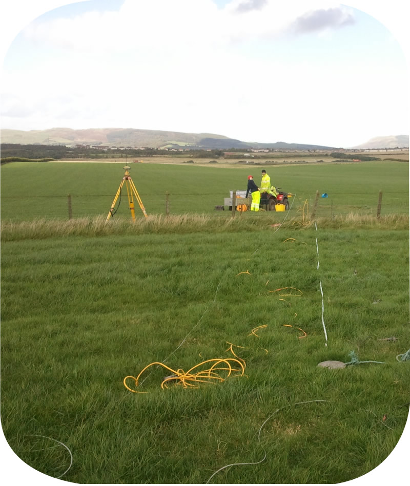
TerraDat is an industry-leader in Geophysical Innovation, producing consistent and quality results for the Environmental and Waste Management Industries
LANDFILL CHARACTERISATION
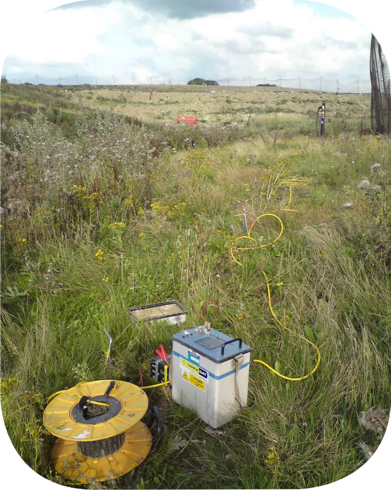
– Surface cap integrity
– Mapping dry/wet waste
– Methane detection surveys
– Contamination plumes
HYDROCARBON CONTAMINATION
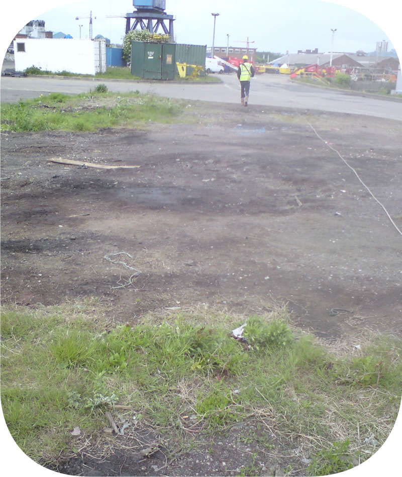
– Fuel storage tanks
– Plume mapping
– Former gas/tar tanks
– Waste pites
– Buried pipelines
GROUND CHARACTERISATION
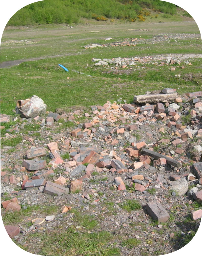
– Buried structures
– Burn pits
– Waste material
– UXO
– Lost boreholes
DEEP STORAGE REPOSITORIES
– Buried structures
– Geological mapping
– Site characterisation
– New and existing sites