We know complex geophysical surveys, but we keep things down to earth. With over 30 years of expertise, TerraDat is your trusted partner in engineering, environmental, energy, and archaeological ground investigations.
At TerraDat, we understand the importance of reliable geophysical surveys for making informed decisions. Our experienced team of geophysicists use advanced technology to provide precise insights into subsurface conditions, ensuring your project’s success. We tailor each survey to deliver the specific data you need, always focusing on practical outcomes.
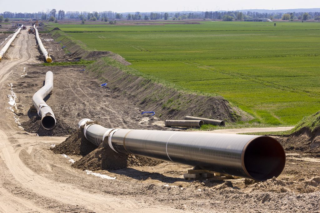
Geophysics for Mapping Geology along Pipeline Routes
Pipelines and cable routes present a set of unique developmental and geotechnical challenges. TerraDat has designed an integrated survey approach, providing data useful to all stages of the project design. Archaeological assessments and UXO detection: Due to the large distances … Read More
Electrical Resistivity Tomography (ERT)
The Resistivity technique is useful for characterising the sub-surface materials in terms of their electrical properties. Variations in electrical resistivity (or conductivity) typically correlate with variations in lithology, water saturation, fluid conductivity, porosity and permeability, which may be used to … Read More
Seismic Reflection
TerraDat has specialist experience in designing and implementing high-resolution seismic reflection surveys for onshore and shallow marine environments. The company routinely carries out seismic survey work for geotechnical and environmental applications as well as larger-scale work for oil/mineral exploration. … Read More
How TerraDat’s work is helping monitor climate change
Twenty years ago, geophysics specialists at TerraDat became involved in a major pan-European project to measure the impact of climate change on permafrost in the mountains of Europe. The PACE (Permafrost And Climate in Europe) Project began monitoring a large … Read More
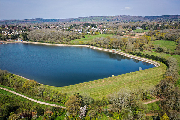
Characterisation of Landfill Sites using Geophysics
Addressing the growing challenge of environmentally compliant landfill management, TerraDat provides expert geophysical survey services for both active and closed landfill sites. Our advanced, non-invasive techniques deliver high-resolution insights into landfill composition and boundaries, surpassing traditional methods in efficiency and … Read More
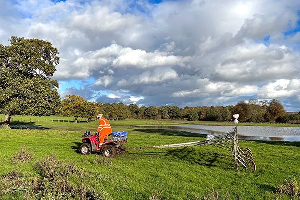
Ground Conductivity (EM)
A ground conductivity or electromagnetic (EM) survey involves the generation of an EM field at the surface and subsequent measuring of the response as it propagates through the subsurface. The main components of the instrument are a transmitter coil (to … Read More
Magnetics
The magnetic survey technique is based on mapping localised variations in the Earth’s magnetic field caused by sub-surface magnetic materials, which range from naturally occurring magnetic minerals to man-made ferrous objects. This leads to a wide range of applications, from … Read More
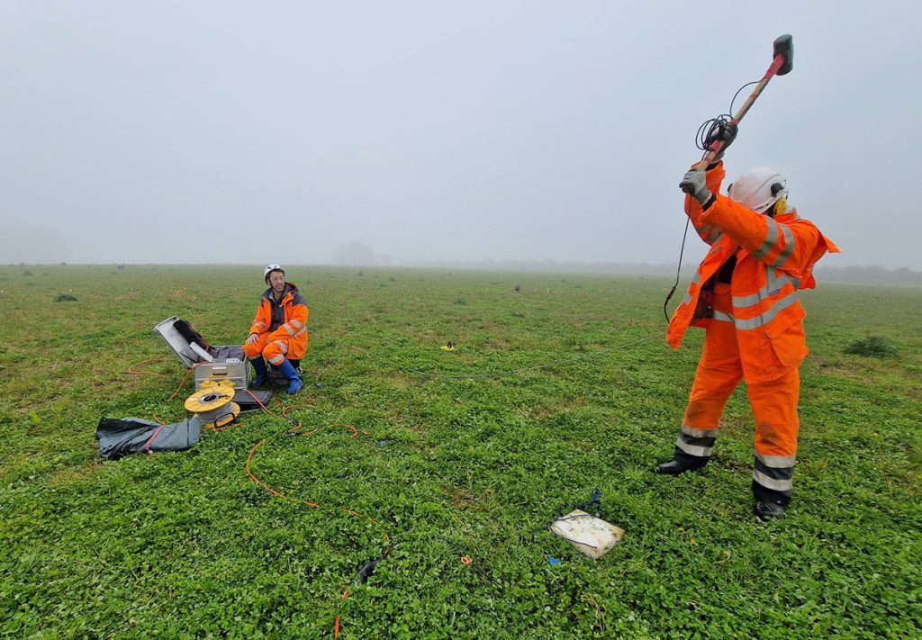
Specialist Seismic Refraction Survey Company
TerraDat is a specialist Seismic refraction survey company with many years of experience applying and researching its use in shallow engineering and geotechnical work. Seismic survey methods provide a useful tool for investigating geological structure and rock properties. The technique … Read More
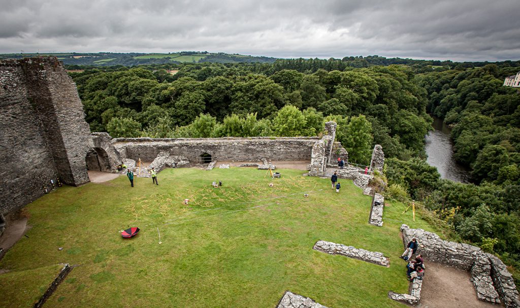
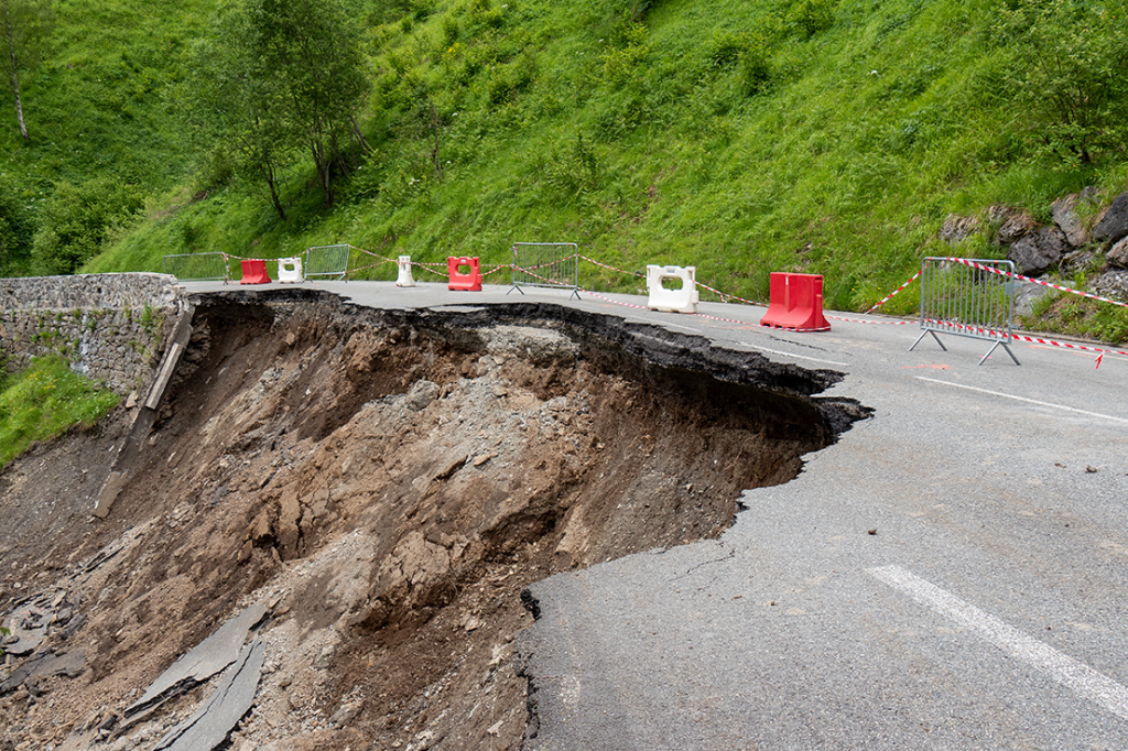
Slope Stability: Understanding Slope Stability using Geophysics
TerraDat has developed a strategy for investigating slope stability that provides key engineering properties for managing and monitoring existing and potential landslides. While each site is considered unique with respect to the survey design, the methods that most often prove … Read More