We know complex geophysical surveys, but we keep things down to earth. With over 30 years of expertise, TerraDat is your trusted partner in engineering, environmental, energy, and archaeological ground investigations.
At TerraDat, we understand the importance of reliable geophysical surveys for making informed decisions. Our experienced team of geophysicists use advanced technology to provide precise insights into subsurface conditions, ensuring your project’s success. We tailor each survey to deliver the specific data you need, always focusing on practical outcomes.
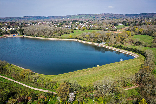
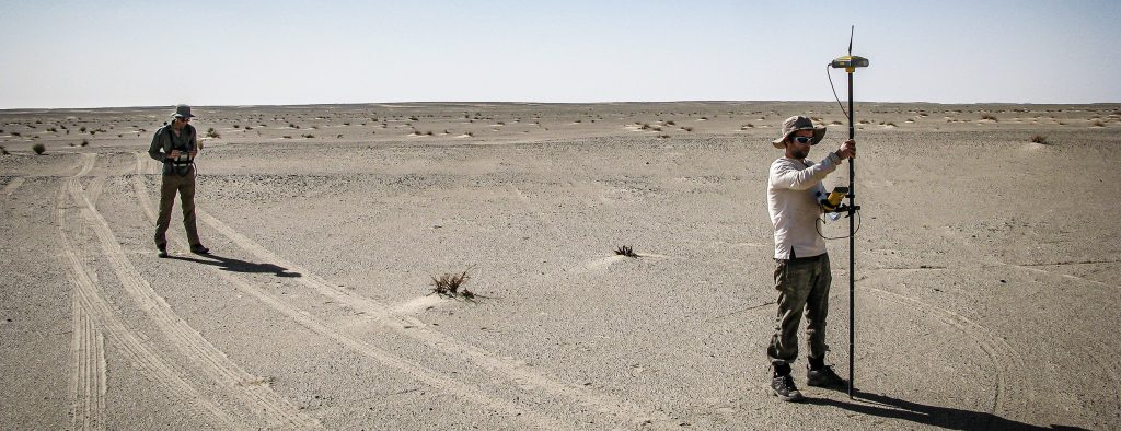
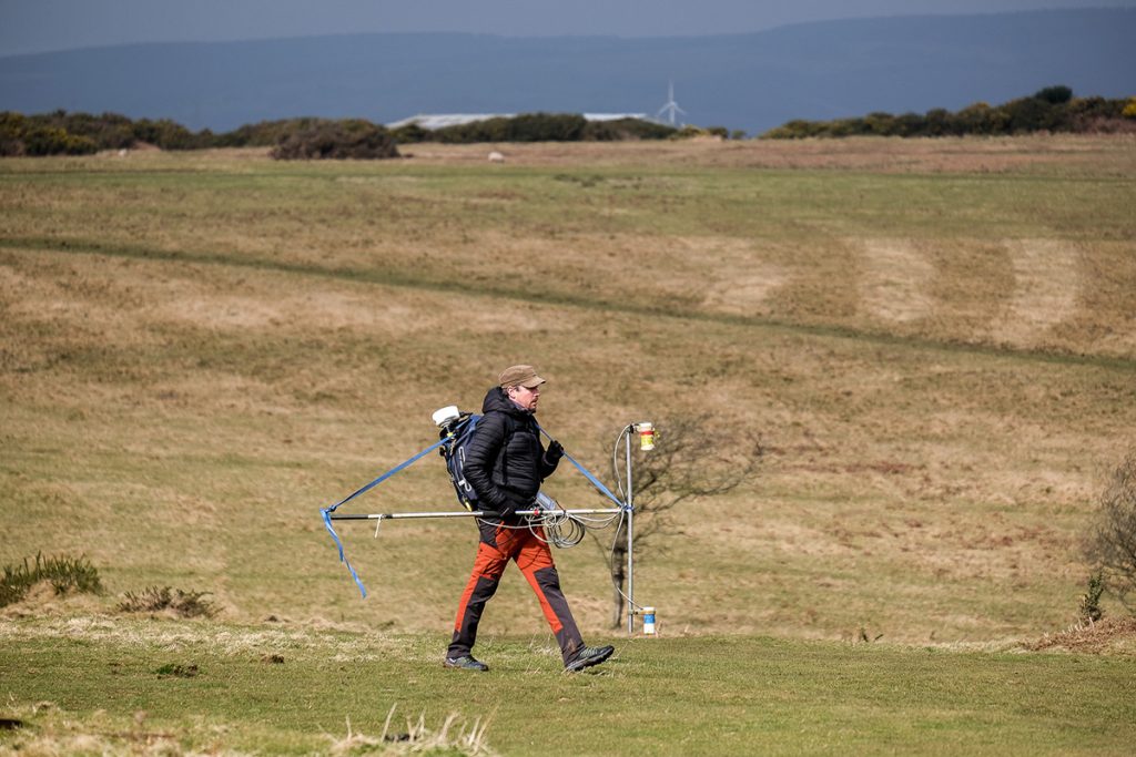
A TerraDat microgravity survey is based on measuring localised variations in the Earth’s gravitational field using an extremely sensitive gravity meter. We own and operate the latest Scintrex gravimeters. A microgravity survey targets physical contrasts between materials of contrasting density. … Read More
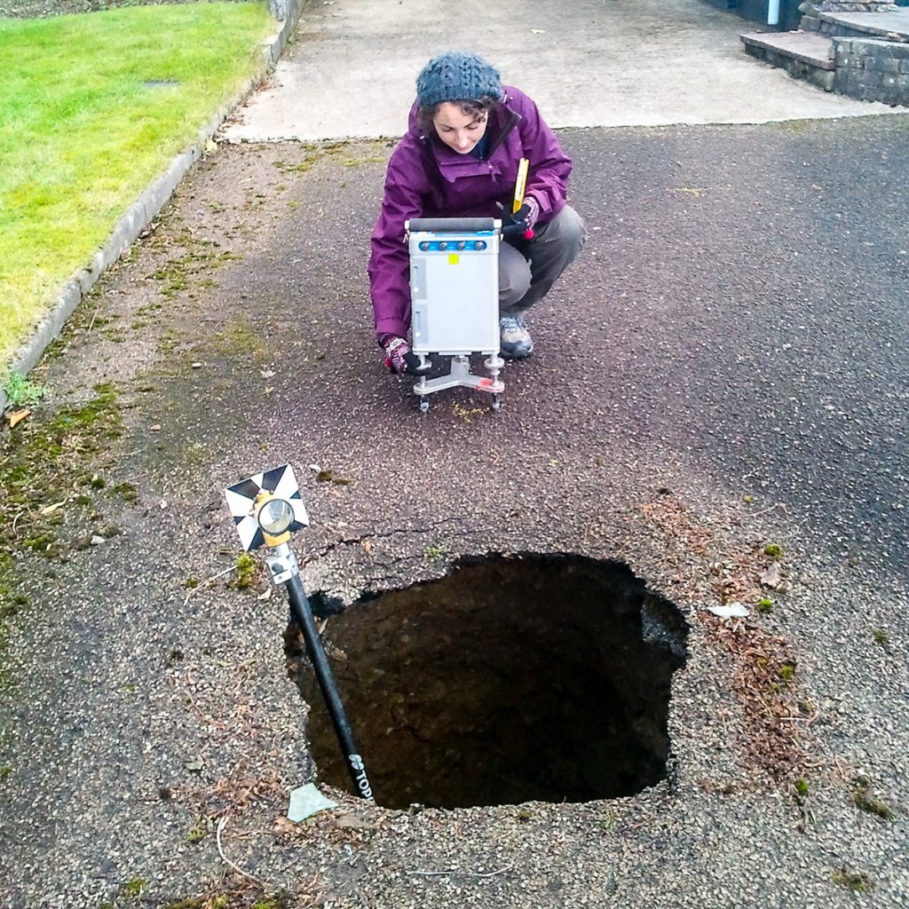
Brownfield Site Investigation using Geophysics
Most former industrial sites have a legacy of buried structural hazards and contamination. Geophysical surveys can detect buried targets without the need to excavate. Many industrial contaminants, such as salinisation by acids and hydrocarbon plumes, can leave a significant geophysical … Read More
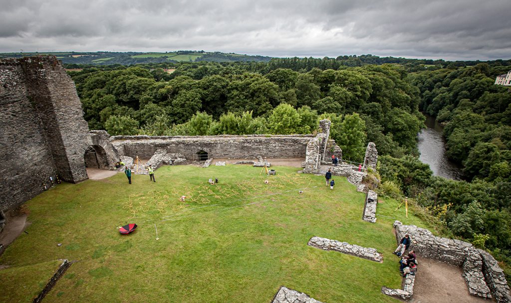
Archaeological Geophysics (Archeology)
CHECK OUT OUR NEW DEDICATED ARCHAEOLOGICAL GEOPHYSICS WEBSITE TerraDat’s archaeological geophysics team is uniquely placed to draw on decades of experience in applied geophysics and archaeological surveying. TerraDat’s approach uses our fully-trained geophysicists to deal with the geophysics while our … Read More
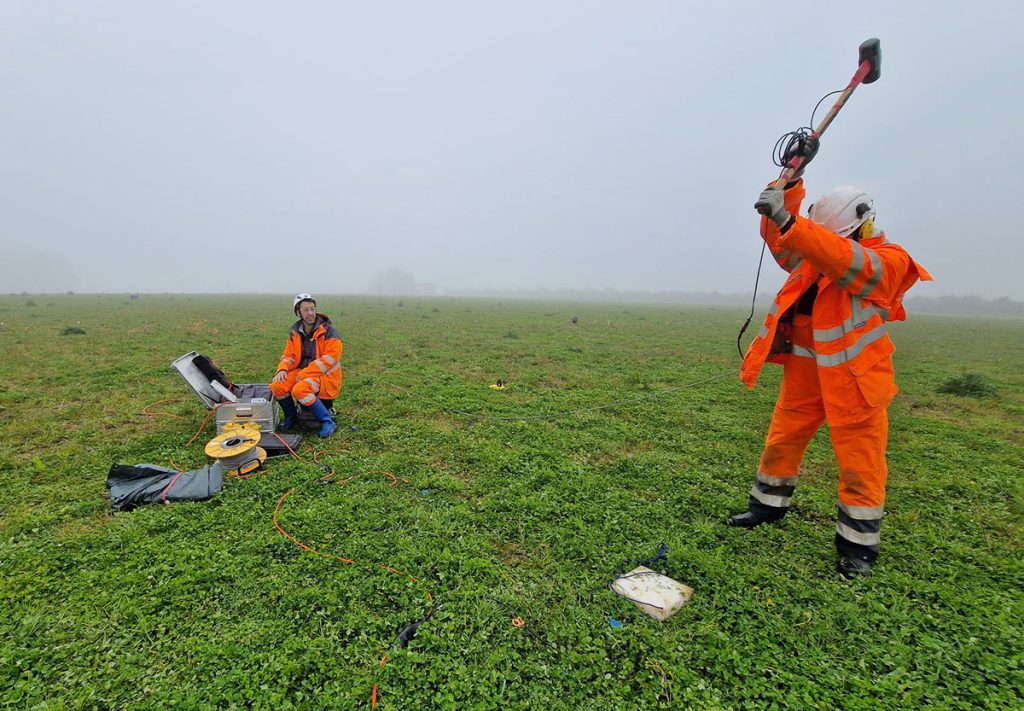
Specialist Seismic Refraction Survey Company
TerraDat is a specialist Seismic refraction survey company with many years of experience applying and researching its use in shallow engineering and geotechnical work. Seismic survey methods provide a useful tool for investigating geological structure and rock properties. The technique … Read More
Electrical Resistivity Tomography (ERT)
The Resistivity technique is useful for characterising the sub-surface materials in terms of their electrical properties. Variations in electrical resistivity (or conductivity) typically correlate with variations in lithology, water saturation, fluid conductivity, porosity and permeability, which may be used to … Read More
Crosshole Seismics
Seismic methods can provide detailed information about rock properties and geological structure between boreholes. Fewer boreholes are needed to achieve a continuous picture of the subsurface, thereby reducing overall costs and the risk of missing target features. Borehole seismic methods … Read More
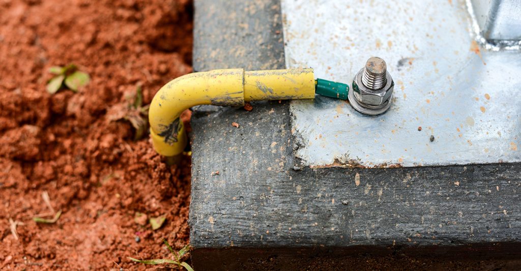
Electrical Earthing: Advanced Soil Resistivity Measurements for Electrical Earthing Design
As part of our services for energy and infrastructure, TerraDat regularly carries out soil resistivity measurements for earthing installation design and corrosion engineering. These resistivity measurements are made by passing a DC electrical current through the ground using a pair … Read More
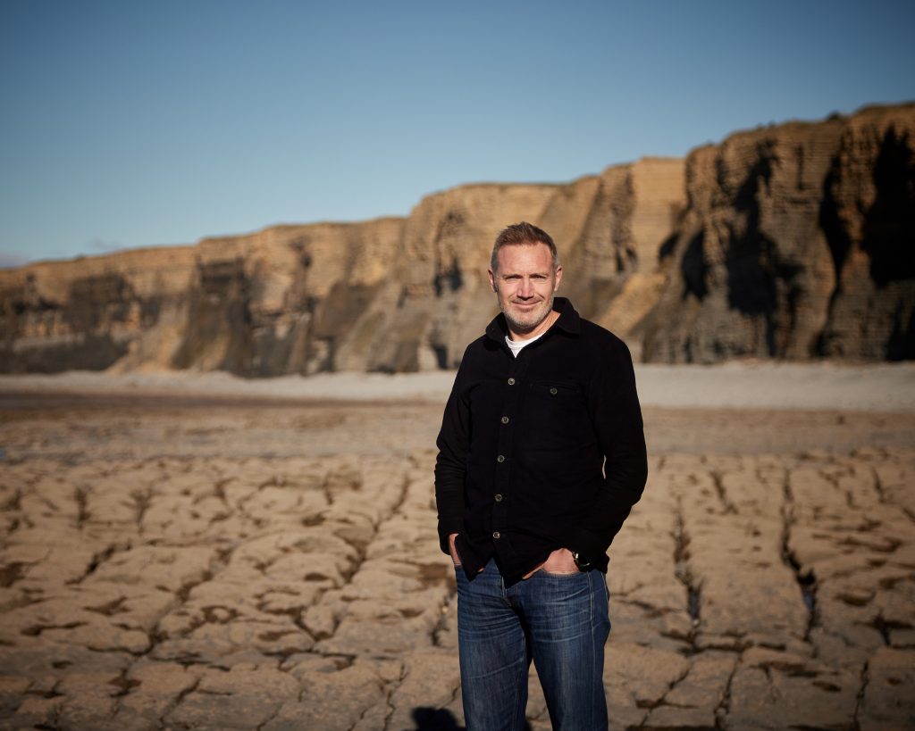
An interview with TerraDat co-founder Nick Russill
In this interview with Alan Wick, originally broadcast on his radio show, you will hear from TerraDat co-founder Nick Russill about: How to continue to grow your business by innovating and staying agile Why it’s important to sometimes say ‘No’ … Read More
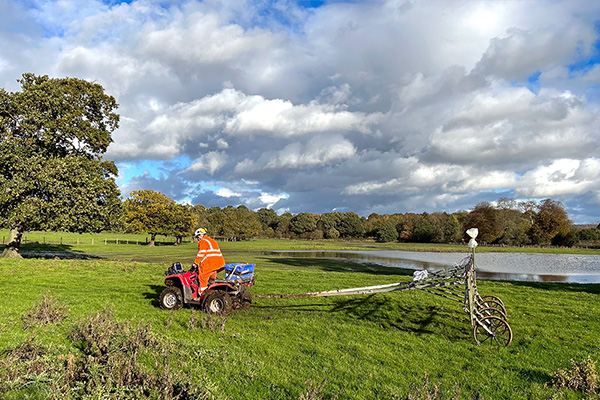
Magnetics
The magnetic survey technique is based on mapping localised variations in the Earth’s magnetic field caused by sub-surface magnetic materials, which range from naturally occurring magnetic minerals to man-made ferrous objects. This leads to a wide range of applications, from … Read More