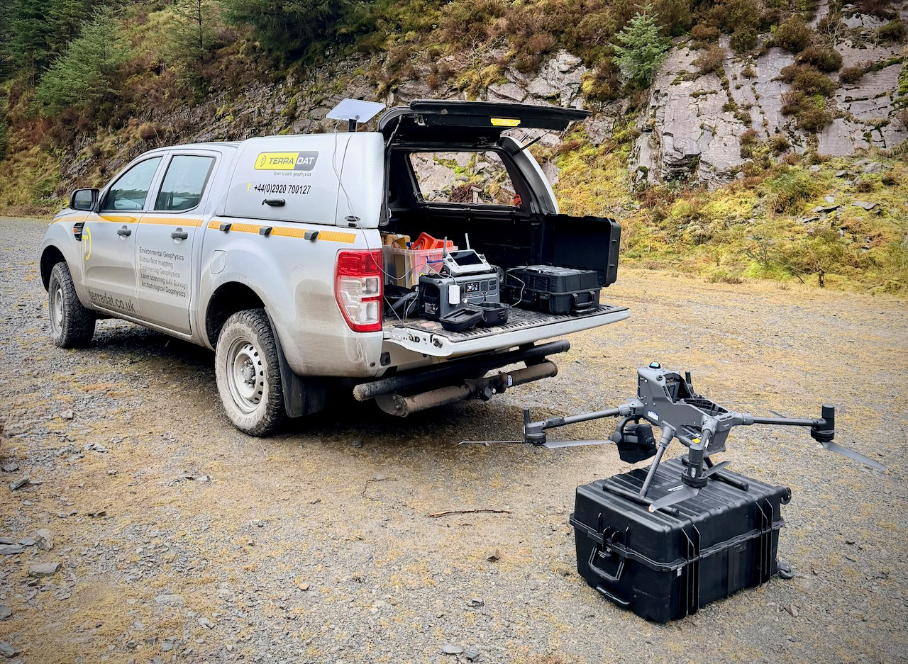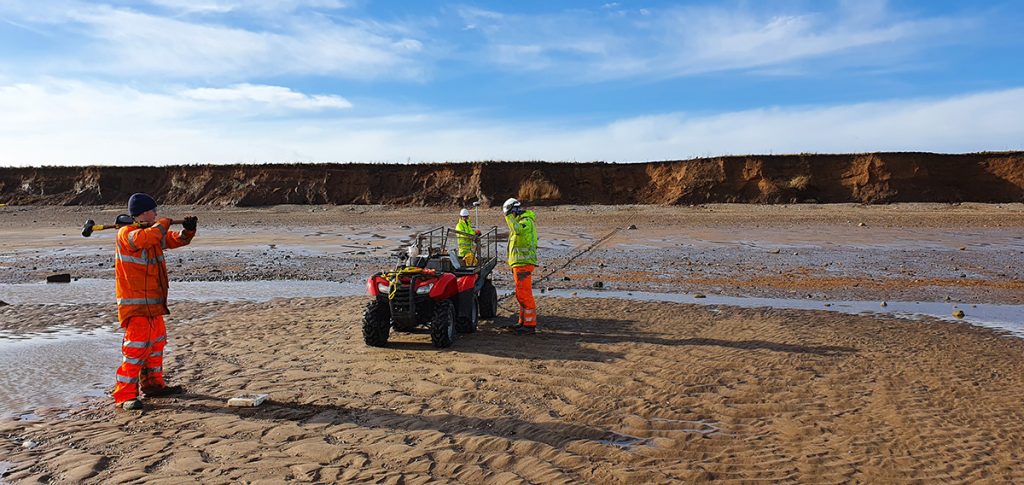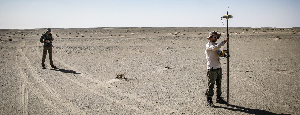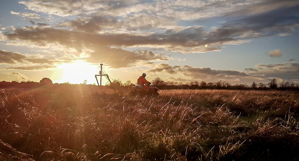
TerraDat has been mapping the world in three dimensions since the earliest days of close-range photogrammetry and terrestrial laser scanning. As drone technology matured, we were at the forefront of integrating airborne LiDAR — and today our UAV-mounted sensor represents the current state of the art for professional survey work. The result is an aerial LiDAR capability that is fast, highly accurate, and capable of delivering terrain data that conventional survey methods simply cannot match.
Our drone LiDAR surveys can cover in excess of 7 km² in a single flying day, producing dense three-dimensional point clouds that are the foundation for a full suite of map products: Digital Terrain Models (DTMs), Digital Surface Models (DSMs), bare-earth DEMs, contours, and high-resolution orthomosaics. All data is georeferenced to national grid and vertical datum standards, with absolute positional accuracy of 10–40 mm achieved through real-time kinematic (RTK) or post-processed kinematic (PPK) GNSS workflows.
This deep lineage in 3D survey — combined with our established expertise in ground-based geophysics — gives TerraDat a unique capability: we can characterise both surface topography and the subsurface simultaneously, from a single mobilisation, for clients who need the complete picture.
 How Aerial LiDAR Works
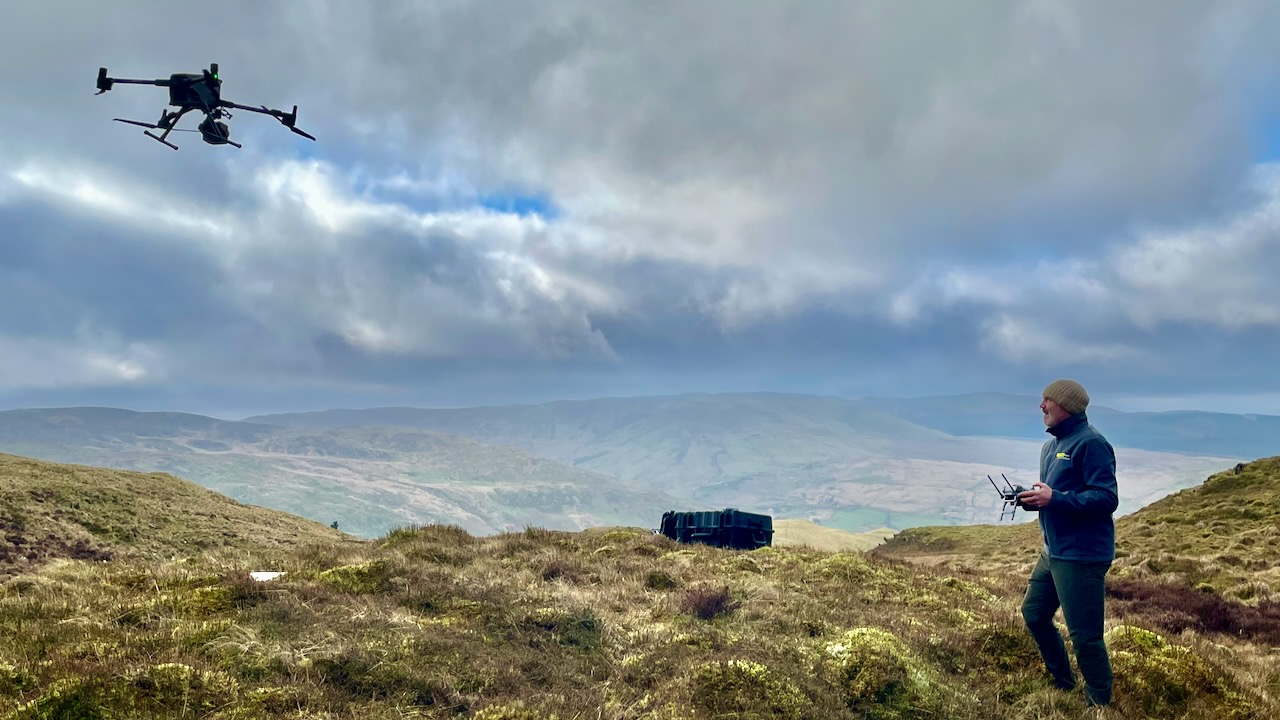
The UAV carries a laser scanning payload that pulses thousands of times per second, measuring the precise distance from the sensor to each surface it strikes. Combined with high-accuracy GNSS positioning and an inertial measurement unit, every point in the resulting cloud carries a georeferenced three-dimensional coordinate.
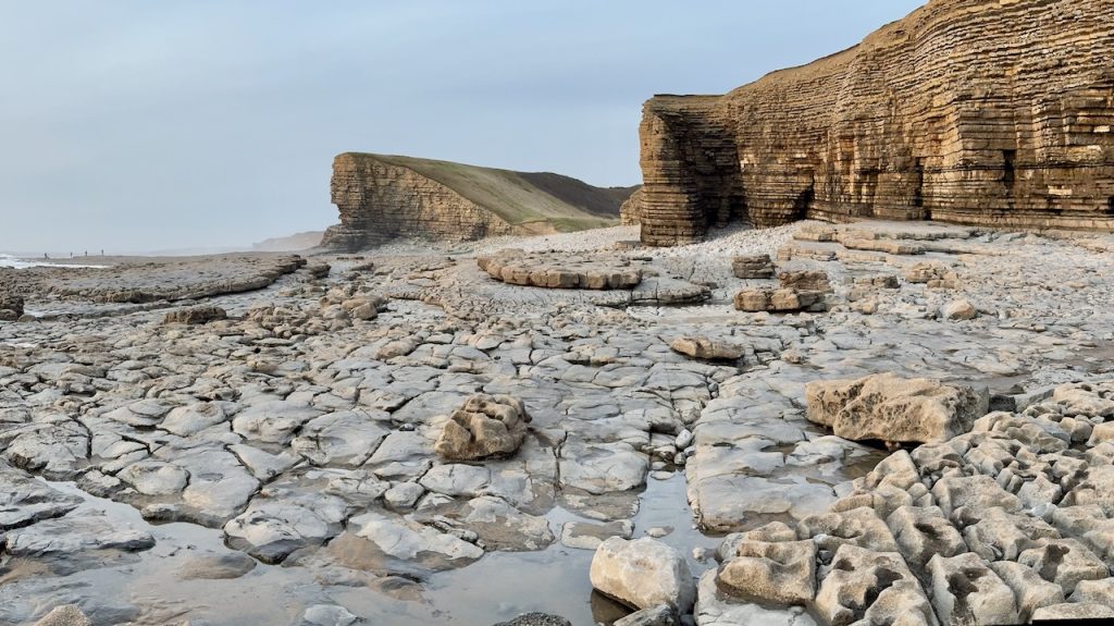
A key advantage of LiDAR over optical camera surveys is its ability to record multiple returns per laser pulse. This allows the sensor to penetrate gaps in vegetation canopy and record both the top of the canopy and the ground surface beneath. In practice, wooded sites, overgrown earthworks, and scrub-covered mine spoil — terrain that is invisible to photogrammetry — can be mapped reliably and completely.
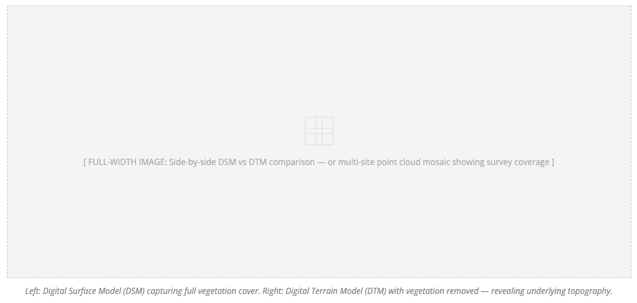
The raw point cloud is processed through a ground-classification workflow to separate ground returns from vegetation, structures, and noise. The isolated ground points are the foundation of the Digital Terrain Model (DTM) — also referred to as the bare-earth DEM — which represents the true land surface independent of whatever covers it.
Where the full surface including vegetation and buildings is required — for example for volumetric calculations or flood-routing — a Digital Surface Model (DSM) is derived from the first returns. DTM and DSM are typically delivered together as a complementary pair.
 Survey Outputs & Deliverables
TerraDat delivers a full suite of products from each aerial LiDAR survey. All raster outputs are supplied as GeoTIFF files, compatible with ESRI, QGIS, AutoCAD, and Bentley platforms. Standard coordinate systems are OSGB36 National Grid (EPSG:27700) with ODN orthometric height (EPSG:5701), with alternative datums readily accommodated.
Applications
 Aerial Archaeology
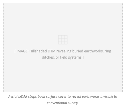
Aerial LiDAR has transformed landscape archaeology. By stripping away surface vegetation to expose bare-earth topography, subtle earthworks become clearly visible at landscape scale — ring ditches, field banks, drove roads, trackways, and mine workings that would be entirely invisible to optical cameras or conventional topographic survey.
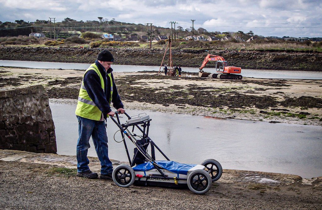
TerraDat offers a uniquely integrated service: UAV LiDAR surveys can be combined with terrestrial geophysical investigation — magnetometry, earth resistance, and GPR — at the same sites, providing both surface morphology and subsurface anomaly datasets under a single contract. This combined approach is particularly effective for historic mining landscapes, deserted rural settlements, and upland sites where vegetation masks substantial buried remains.
Specialist visualisation techniques including hillshading, Sky-View Factor, slope analysis, and local relief modelling allow subtle earthworks to be enhanced well beyond what standard mapping reveals. These outputs are routinely integrated with our geophysical results to produce coherent site interpretations.
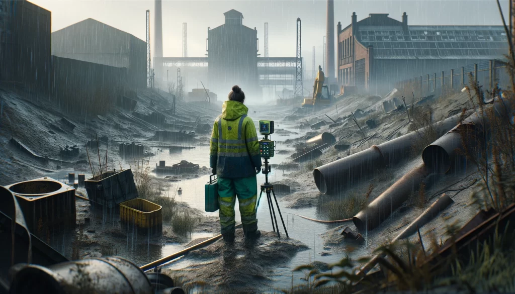
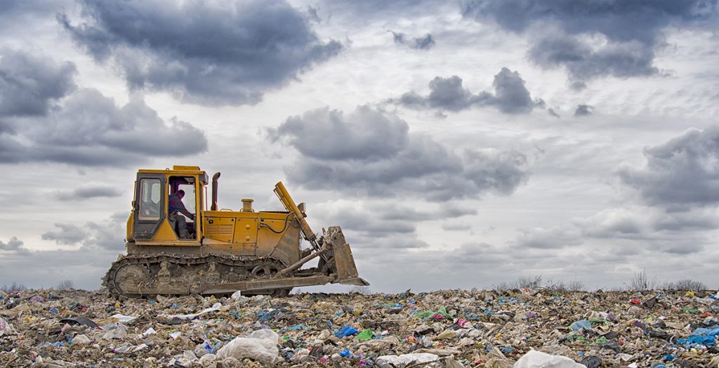
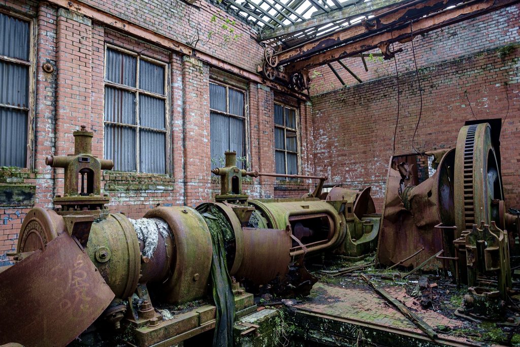
Brownfield Sites & Mine Remediation
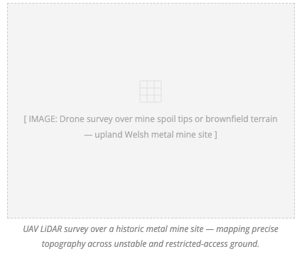 Historic metal mine sites and brownfield land present significant challenges to conventional survey: unstable ground, restricted access, and complex irregular terrain demanding high measurement density. Aerial LiDAR resolves all three simultaneously.
We regularly provide DEMs, DSMs, volumetric calculations, contour mapping, and change-detection surveys in support of mine water treatment schemes and remediation programmes. TerraDat has direct experience of surveying upland Welsh metal mine sites where precise topographic data underpins drainage modelling, tipping stability assessment, and long-term monitoring — often delivering accurate models across multiple sites within a single mobilisation.
For brownfield characterisation more broadly, LiDAR-derived surface models help quantify earthwork volumes, map surface drainage, identify access constraints, and support planning and environmental impact assessment — at a fraction of the time and cost of conventional methods.
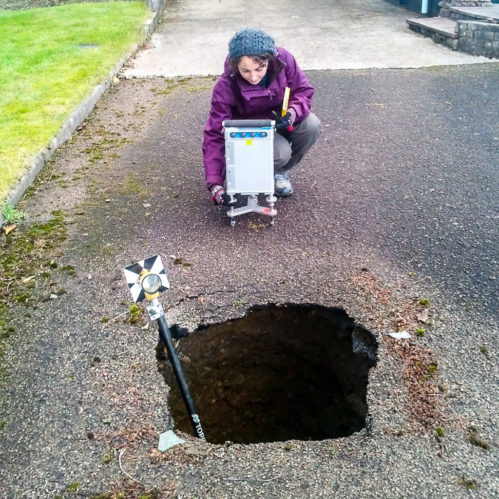
Geohazards: Karst Terrain & Sinkholes
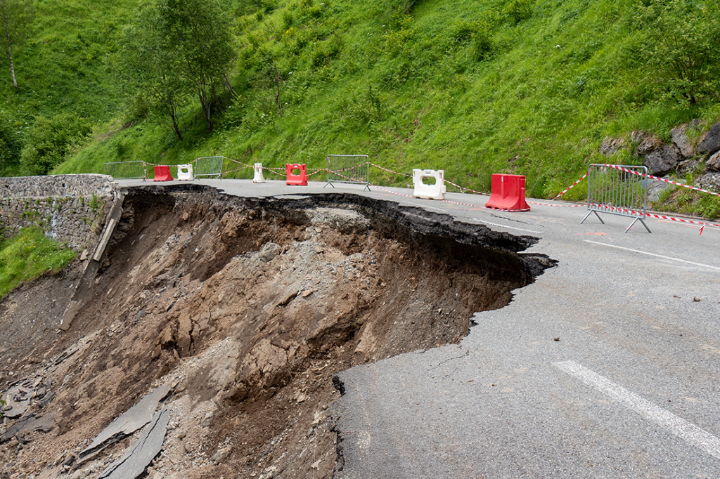
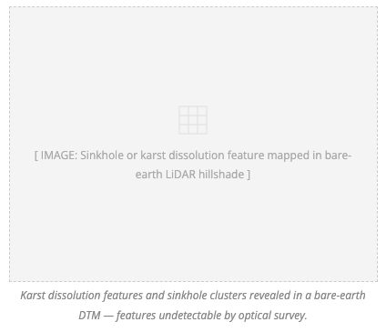 Sinkholes, dissolution features, and ground subsidence associated with karst geology or historical underground workings require rapid, accurate surface characterisation — frequently over terrain that is unsafe to traverse on foot. Aerial LiDAR is the ideal tool.
A single flight campaign can map depression morphology precisely, quantify sinkhole volumes, identify spatial clusters of related features, and establish a measurable baseline for future monitoring. Delivered DTMs integrate directly into geotechnical risk frameworks and can be compared with BGS records to identify previously unmapped features across wide areas.
TerraDat’s combined UAV LiDAR and ground geophysics capability is particularly powerful in karst environments: surface LiDAR characterises the morphology while subsurface electrical resistivity or microgravity surveys interrogate the underlying geology — providing a complete geohazard assessment from a single contractor.
Photogrammetry & High-Resolution Orthomosaics
 In addition to LiDAR, TerraDat deploys high-resolution RGB and multispectral camera payloads for photogrammetric survey. Dense image-matching processing produces centimetre-resolution orthomosaic images and photorealistic 3D models that complement LiDAR terrain data with true-colour visual context.
Orthomosaics at 5–10 cm pixel resolution allow detailed interpretation of surface conditions, vegetation health, structural detail, and site access — all precisely registered to the same coordinate system as the LiDAR data. Photorealistic textured 3D mesh models — suitable for client presentations, planning applications, heritage recording, or archive — are generated from the same imagery with no additional flight time.
Photogrammetry is routinely flown concurrently with LiDAR for maximum efficiency on combined-deliverable projects. The fusion of LiDAR-derived terrain accuracy with the visual richness of photogrammetric imagery gives clients a uniquely complete record of site conditions.
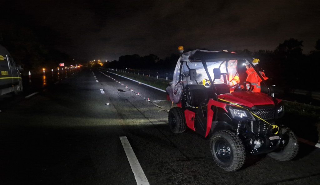
Safe & Fully Authorised Drone Operations
All TerraDat drone surveys are conducted under current UK Civil Aviation Authority (CAA) Operator Authorisation, with qualified remote pilots holding nationally recognised competency certificates. Every flight is preceded by a full site-specific risk assessment, NOTAM check, airspace coordination, and briefing of all ground personnel. Our operations are governed by a CAA-certified Operations Manual that is maintained and regularly updated.
We carry full public liability insurance appropriate for commercial UAV operations and are experienced in meeting the requirements of CDM-regulated sites, NEC contracts, and heritage-sensitive environments requiring additional permissions and method statements. Our equipment is covered under a comprehensive hardware care programme, ensuring survey continuity even when working in remote or challenging locations far from equipment support.