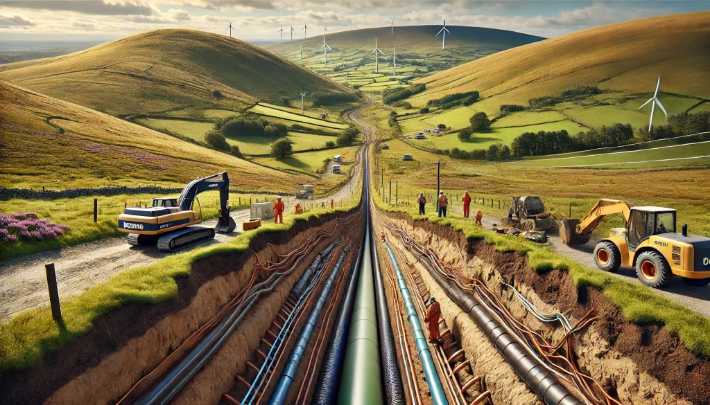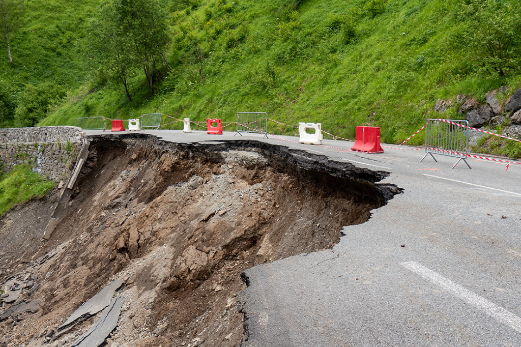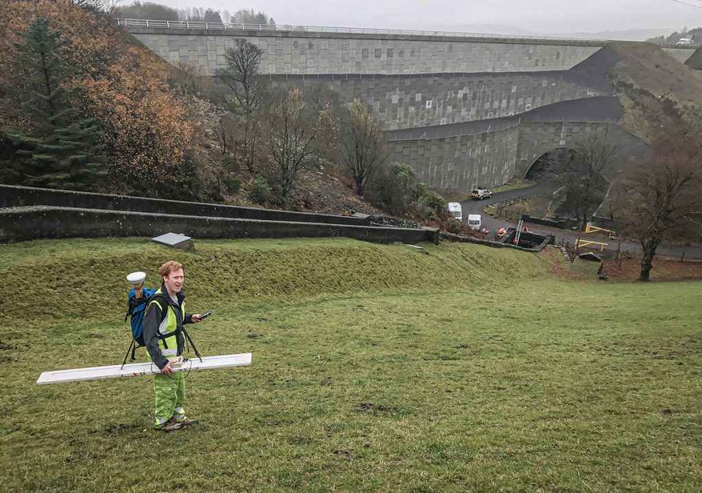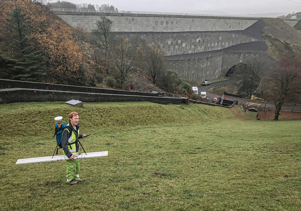
Dams are vital structures that contribute to vital infrastructure including drinking water, crop irrigation, and hydroelectric power. These structures, often over a century old are also put under huge stress by the large quantities of water they retain as well as significant environmental events. Hence monitoring dams and ensuring their safety is vital.
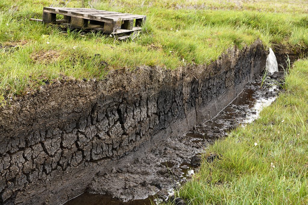
Deformation of dams can occur because of erosion, hydraulic gradients, water load, and water saturation. That can put dams at risk of failure, possibly flooding homes, businesses, and farmland, and putting lives in danger.
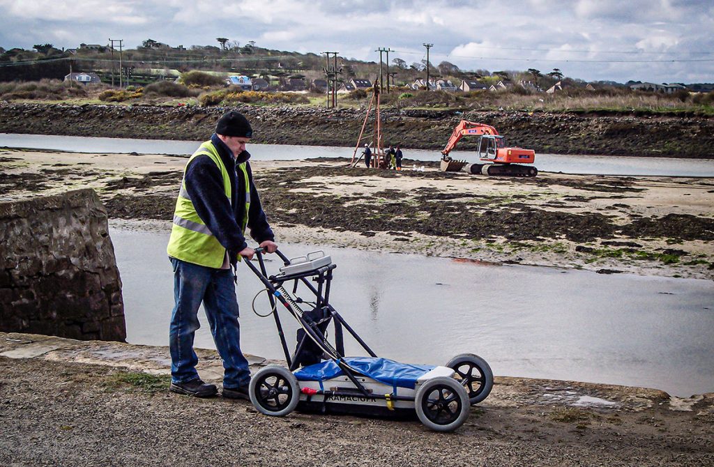
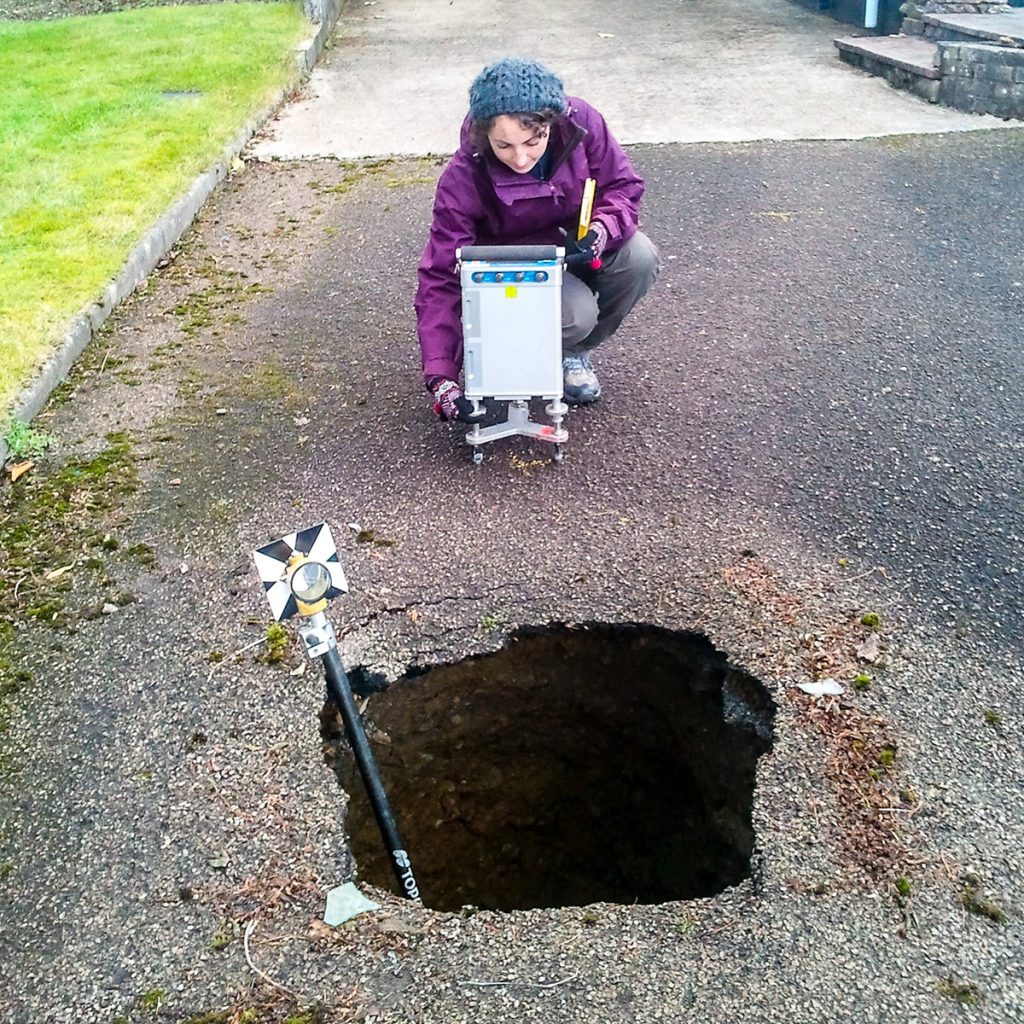
Geophysical techniques can help the authorities who run them monitor their dams for potential problems.
In our latest video, TerraDat’s Senior Geophysicist Dr Joanna Hamlyn looks at the geophysical techniques we can use to investigate leaking dams or failing structures, and the monitoring systems that can be put into place.
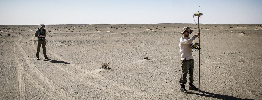
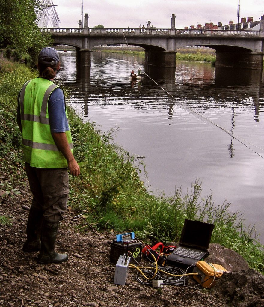
Geophysical techniques are ideal for investigating dam structures because they are non-invasive and capture data over a large area increasing the chance of identifying defects or areas of potential leakage or failure.
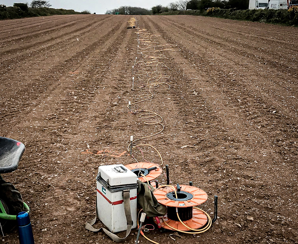
Electrical Resistivity Tomography (ERT) – Resistance to an electrical current is measured and those areas with lower resistivity would likely show areas of water ingress or water seepage.
Electromagnetic Ground Conductivity – Data from within the shallow subsurface are collected on grids using non-contacting instruments. Areas of high conductivity would show high moisture content.
Magnetometry – This is particularly useful for structures that contain pipes or ferrous reinforcement materials, such as the materials used in reinforced concrete.
Ground Penetrating Radar (GPR) – Radio waves are used to measure below the surface of a structure, highlighting any anomalies such as shallow voiding because of water washouts.
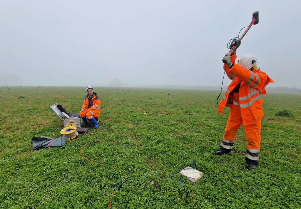
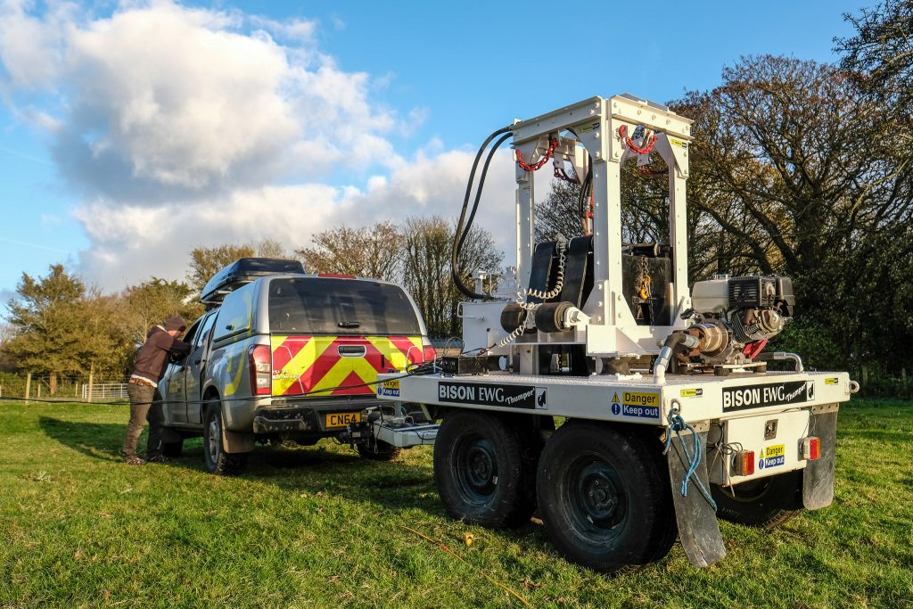
Seismic Surveys – Seismic waves which is measured along profiles to map the subsurface velocity. These waves can be used to ascertain the strengths of different layers such as uncompacted sediment and bedrock.
Dr Hamlyn said: “The careful use of all of these techniques can provide important information on dam structures and reservoirs.”
How can observing structures over time help water authorities and landowners plan for the future?
Monitoring dams and other structures over time can help ascertain the pace of changes taking place below the surface.
That, in turn, helps managers organize planned maintenance and bring forward more urgent work.
“There is increased demand for time-lapse geophysical monitoring of defects to observe them over time show how they respond to changing water levels,” Dr Hamlyn added.
“By repeating exactly the same ERT lines, we can provide information about the evolution of moisture content in the environment.”
These tests could be carried out daily or annually, depending on a client’s needs.
ERT can also be used to differentiate between different types of water – seawater or fresh water – but the data must be interpreted carefully.
TerraDat has developed its own versatile self-potential monitoring system “SPiVolt and “We believe this will be a valuable service for many industries including the water industry in future,” Dr Hamlyn said.
If you’d like to contact TerraDat about dam testing, please email [email protected]