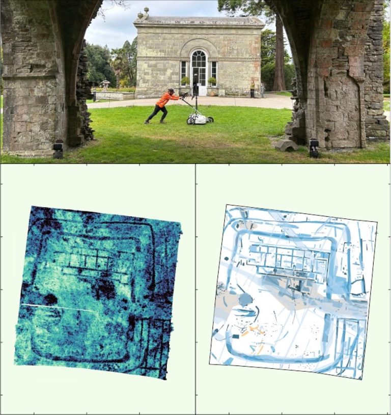
Karst Geology: Void detection & Karst Mapping using Geophysics
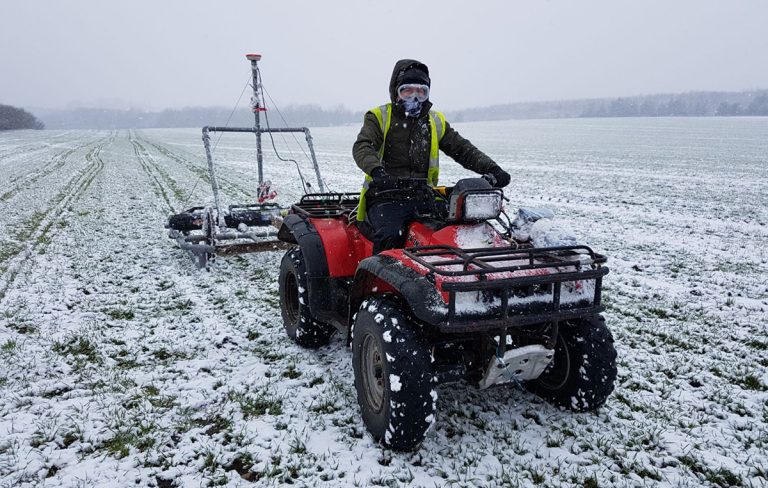
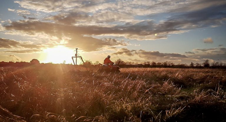
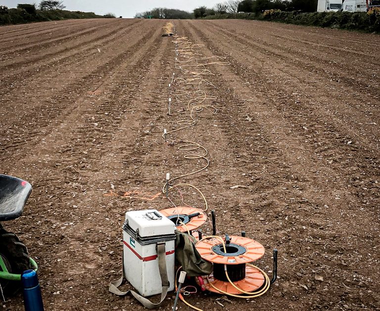
TerraDat is regularly contacted by ground engineers asking about our void detection surveys using geophysics. The benefits of our geophysical surveys in terms of maximum area coverage and minimal ground disturbance provide an ideal solution. The best geophysical methods for