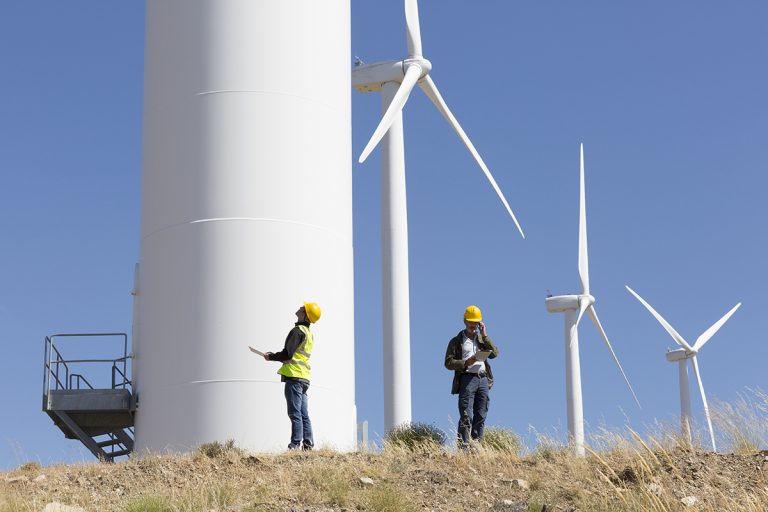
Electrical Earthing: Advanced Soil Resistivity Measurements for Electrical Earthing Design
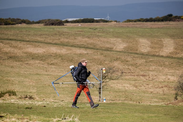
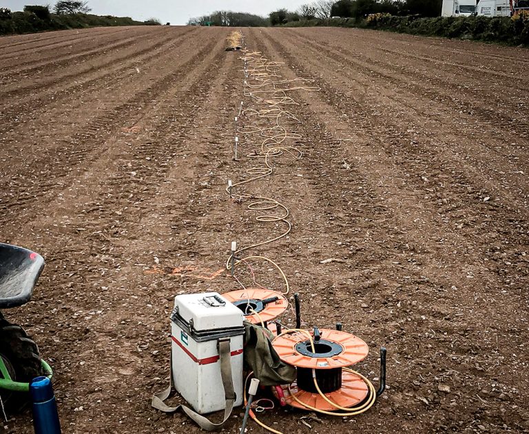
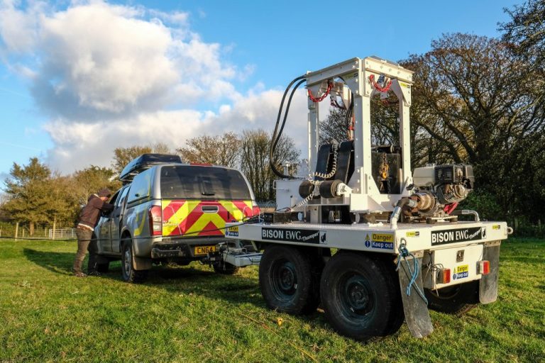
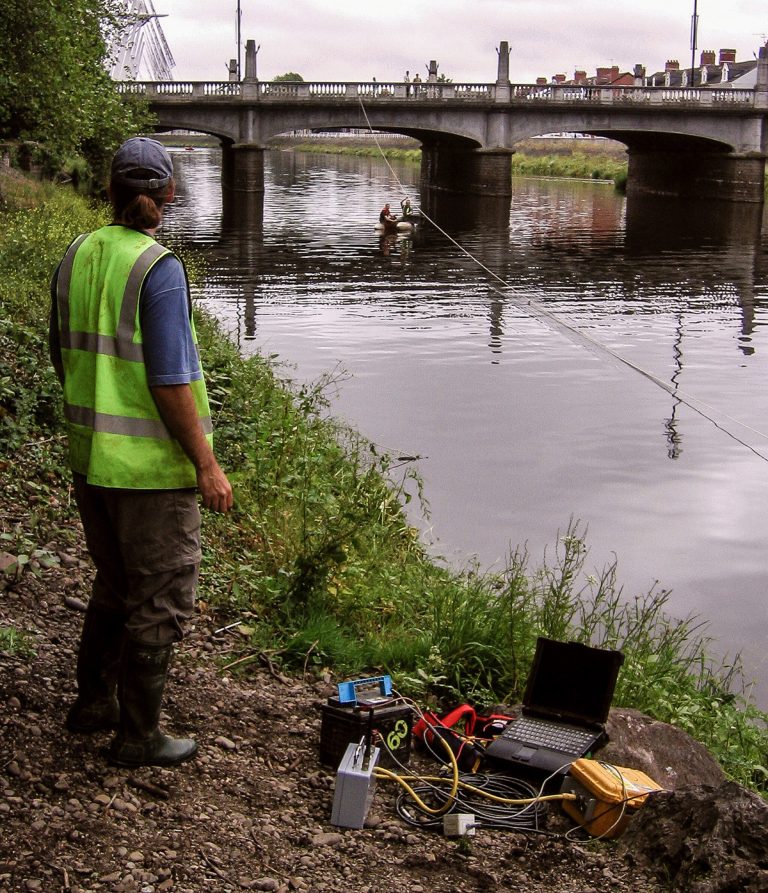
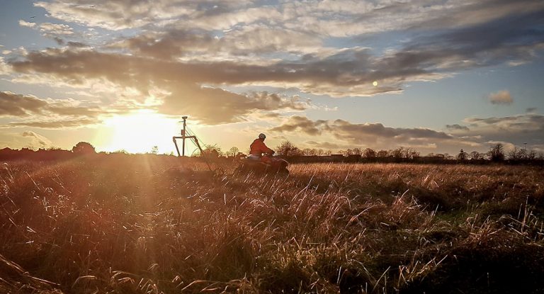
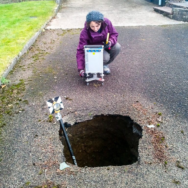
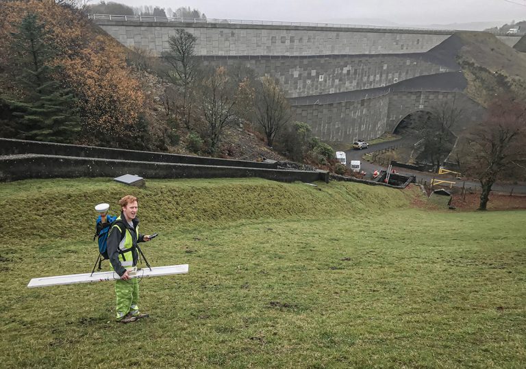
As part of our services for energy and infrastructure, TerraDat regularly carries out soil resistivity measurements for earthing installation design and corrosion engineering. These resistivity measurements are made by passing a DC electrical current through the ground using a pair