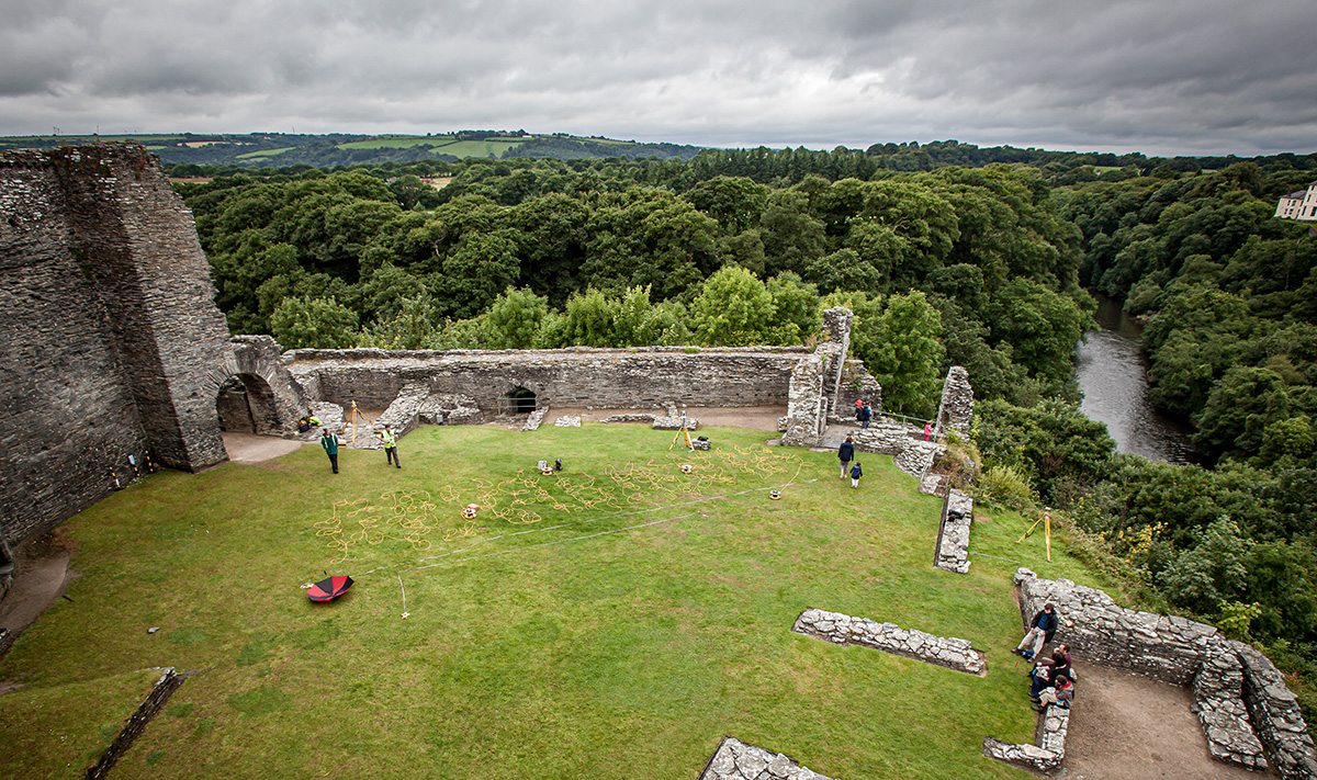
TerraDat was privileged to conduct the geophysical survey at Margam Country Park that revealed a substantial Roman villa
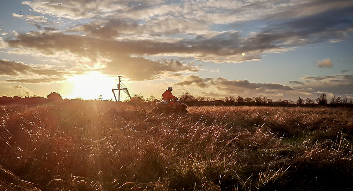
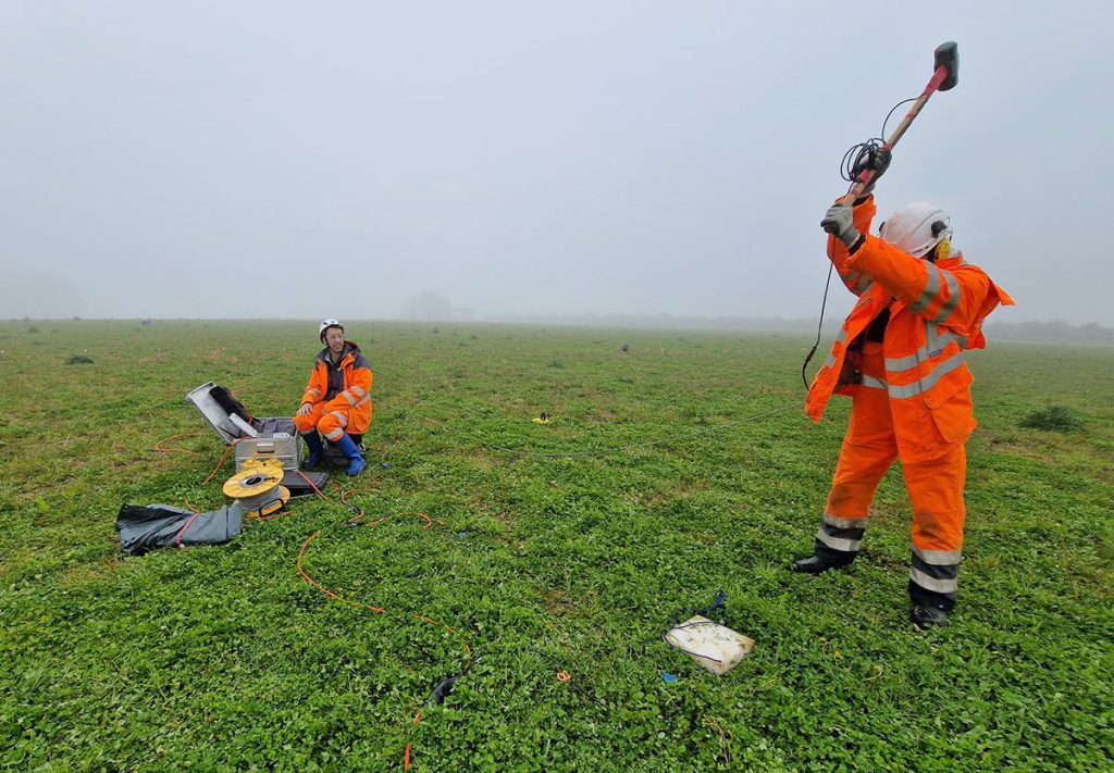
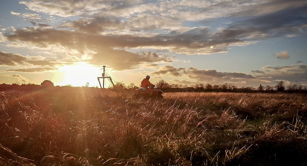
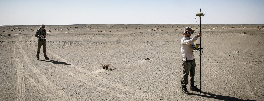
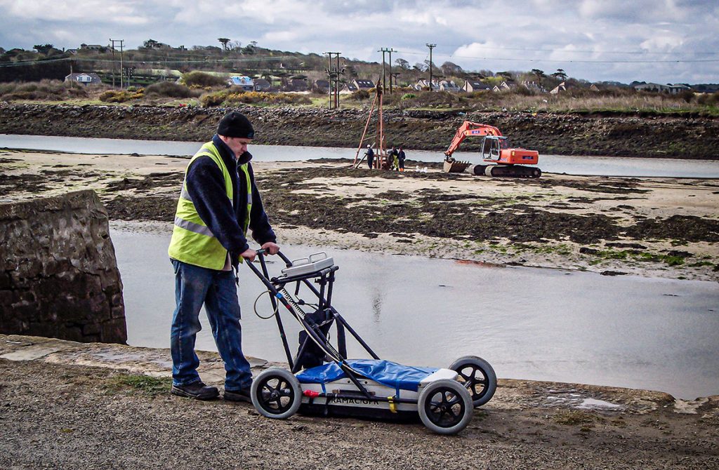
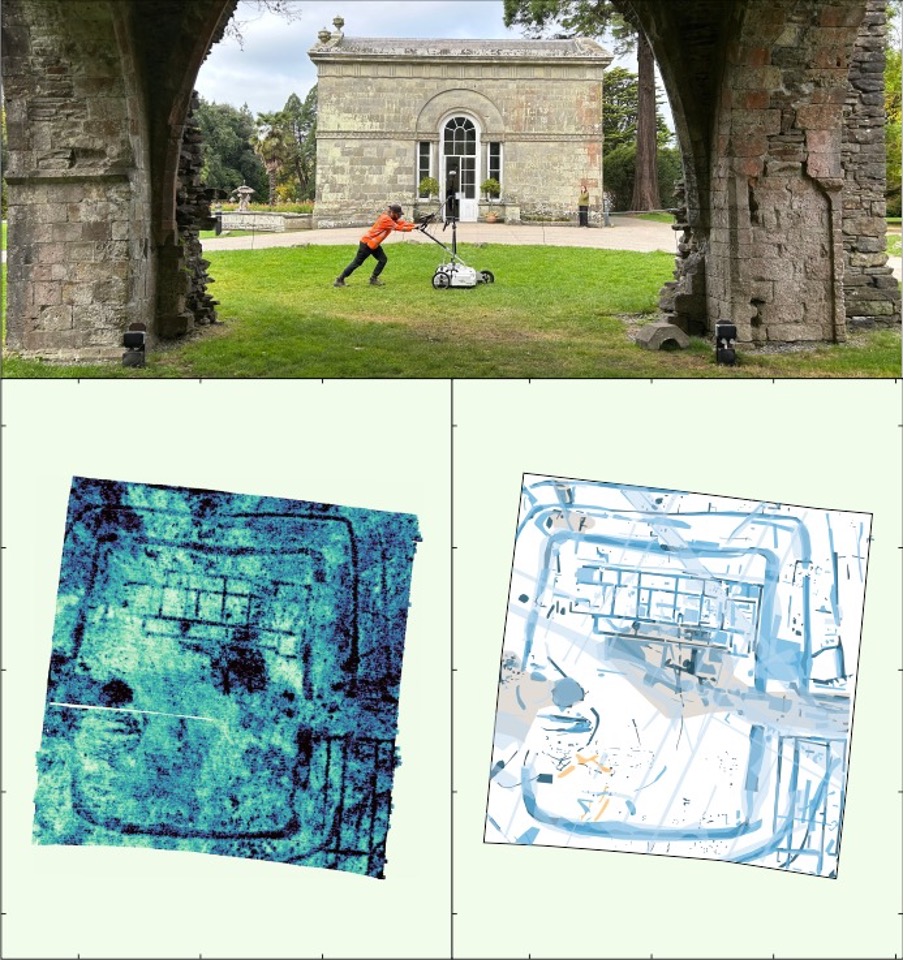
While much of our work involves commercial geophysical surveys for infrastructure and engineering developments, it was wonderful to collaborate closely with archaeologists on this research project. Working with Swansea University’s ArchaeoMargam team, we identified the previously unknown structure using magnetic gradiometry, then imaged it in high-resolution with ground-penetrating radar to reveal the footprint of a villa complex measuring 43m x 55m, along with associated structures that are rewriting our understanding of Roman Wales.
As project lead Dr Alex Langlands noted, this discovery challenges the traditional narrative of Wales as merely a Roman frontier zone. Instead, it reveals a sophisticated agricultural centre comparable to the grand villas of Gloucestershire and Somerset.
The exceptional preservation – protected by Margam’s continuous use as a deer park since Roman times – means floor surfaces and wall foundations appear intact, offering extraordinary research potential.
This project exemplifies the vital role geophysical survey plays in heritage discovery. Whether supporting commercial developments or archaeological research, non-invasive techniques like magnetometry and GPR allow us to map what lies beneath comprehensively, informing both engineering decisions and conservation strategies.
Congratulations to the entire ArchaeoMargam team on this remarkable find. We’re honoured to have played a part in uncovering this extraordinary piece of Welsh history.