

Resistivity Profiling
TerraDat uses a suite of several different geophysical survey methods to map the subsurface. We own all the specialist survey instrumentation needed for geophysical surveys. Having a complete capability in-house means that we routinely combine methods to measure anomalies from different subsurface properties. This approach significantly improves the chances of successfully fulfilling the key survey objectives.
Our choice of geophysical survey method is made by making an appraisal of the physical properties of the target to identify any potential contrast with the subsurface materials. Appropriate survey techniques are then chosen to exploit the contrast in physical properties best and reveal the target’s location, either in plan or cross-section.
The suite of geophysical survey techniques that TerraDat routinely employs includes:
- Microgravity: target density contrasts to identify voids, geological features or mineral bodies
- Seismic reflection and refraction: P and S-wave velocity contrasts to profile bedrock, overburden layers and rock strength
- Borehole Seismics: downhole and cross-hole seismic surveys to quantify subsurface engineering properties
- Electromagnetics: map subsurface geo-electrical changes to identify anomalies due to overburden variations, boundaries, plumes etc.
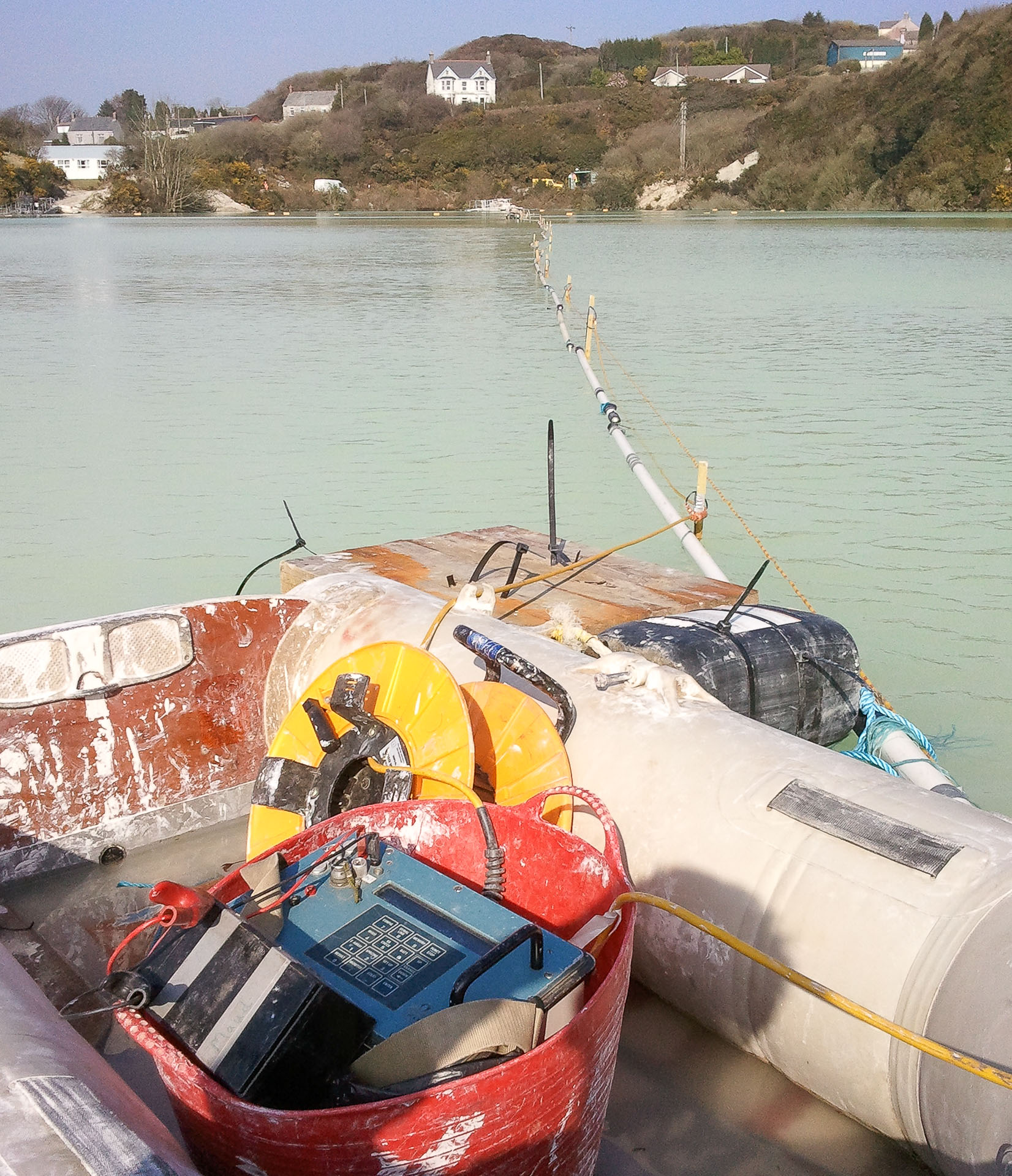
- Electrical Resistivity: profile geo-electrical properties to map top of bedrock, overburden changes, buried channels etc.
- Ground Penetrating Radar (GPR): 2D and 3D mapping of the subsurface to characterise geological and structural features.
- Magnetics: for mapping buried ferrous targets such as drums, tanks or UXO (unexploded ordnance)
- Induced Polarisation surveys (IP): locating and characterising mineral deposits
- Radiometric surveys: measure naturally occurring gamma radiation
- Methane Gas surveys: soil vapour gas surveys to map methane gas and detect hydrocarbons
- Utility Survey Methods: a suite of radiodetection methods to locate shallow services and utilities
Click here to view an inventory list of our latest geophysical survey equipment that we use.