

NEW SERVICE: near real-time detection and remote monitoring of leaks in embankment dams. Click here for more info
Geophysical Survey Specialists
Complex Geophysics delivered by Down to Earth people
We know complex geophysical surveys, but we keep things down to earth. With over 30 years of experience, TerraDat is your trusted partner for engineering, environmental, energy, and archaeological ground investigations. We collaborate with engineers and consultants from our Wales HQ (with offices in Scotland, Spain, Italy, and Austria) to deliver actionable subsurface mapping data.
TerraDat understands you need reliable geophysical surveys to make informed project decisions. We tailor our surveys to give you the specific insights necessary for understanding what lies beneath. Our skilled geophysicists utilize cutting-edge technology to maximize your survey’s success, always maintaining a practical, results-focused approach.
Survey results are simple to grasp, delivered in standard CAD or GIS formats, and thoughtfully integrated with historical data and geological information for a comprehensive view. Our mission is to help you achieve your goals – even if you’re new to geophysics, contact us for a friendly chat to pinpoint your survey needs.
We’re passionate about the earth sciences, easy to work with, and always ready to help!
Who Are TerraDat
There are many applications for TerraDat geophysical surveys. Popular ones include:
– profiling bedrock properties for pipeline/bridge river crossings
– subsurface geotechnical properties
– mapping of subsurface voides
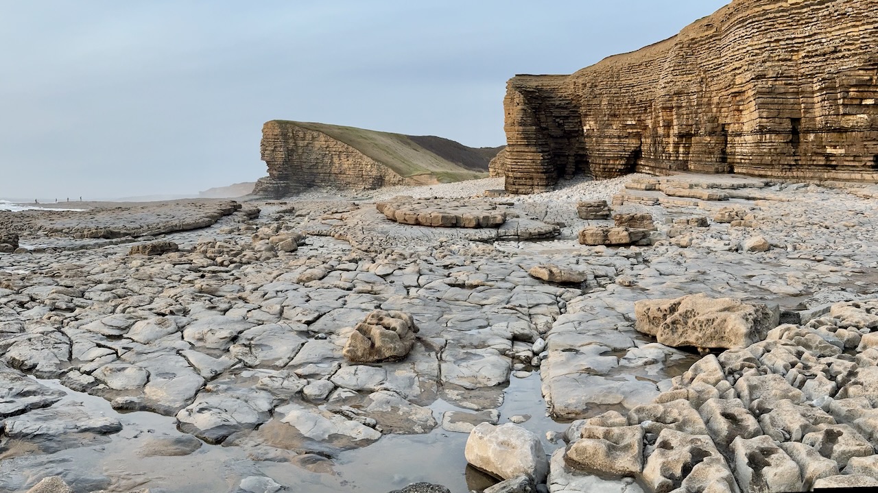
– geohazards such as collapses, landslides and flooding
Testimonials
“Always friendly, open and honest about things…”
“Always go the extra mile”
“TerraDat offer solutions that work, rather than a method that may not work…”
“They always deliver meaningful results”
“Not the cheapest but the value of their experience and attention is worth every penny.”
“A breath of fresh air, no comparison…”
“TerraDat always put their customers’ needs first…”
We can help you confidently understand the subsurface so to give your project a firm foundation…
We specailise in all geophysical survey methods including seismic, microgravity, magnetic, and geoelectrial. In-house geomatic capabilities include 3-D laser scanning, LiDAR, photogrammetry and we are a CAA-approved commercial drone operator.
There are many applications for TerraDat geophysical surveys. Popular ones include:
– profiling bedrock properties for pipeline/bridge river crossings
– subsurface geotechnical properties
– mapping of subsurface voides
– geohazards such as collapses, landslides and flooding
– location of abandoned mineworkings
– water exploration/drainage
– mineral exploration
– detection of unexploded ordnance
– 3D visualisation of heritage structures

Latest News
GeoVoyager: A Collaboration with the Royal Society and Cowbridge School
We’re pleased to announce a partnership with Cowbridge School for an innovative educational project called GeoVoyager. The collaboration is made possible thanks to a STEM Partnership Grant from The Royal Society, the oldest scientific institution in continuous existence since 1660. GeoVoyager represents a collaborative effort to create an online 3D geological database harnessing our expertise in photogrammetry and laser scanning technologies. Our goal is to provide the A-level Geology students of Cowbridge School with a dynamic and interactive educational experience. This will be achieved through [...]
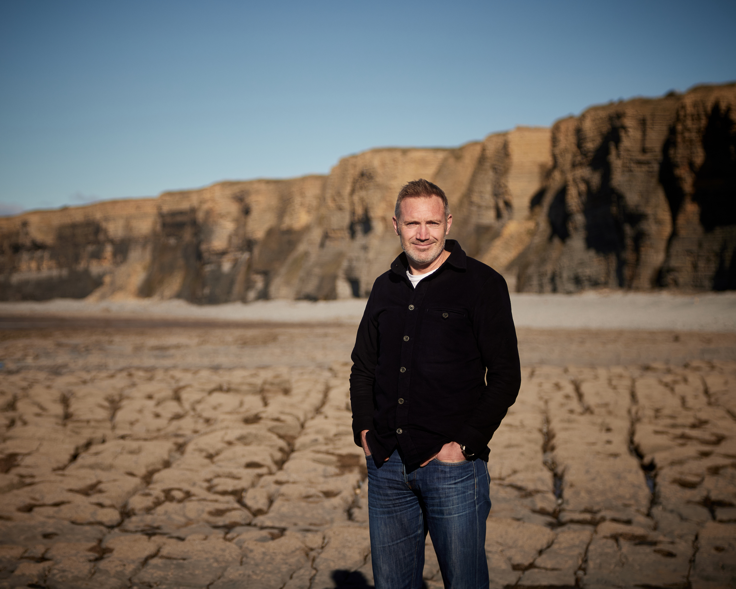
An interview with TerraDat co-founder Nick Russill
In this interview with Alan Wick, originally broadcast on his radio show, you will hear from TerraDat co-founder Nick Russill about: How to continue to grow your business by innovating and staying agile Why it’s important to sometimes say ‘No’ to new business The value of honesty, when it comes to ensuring repeat business How to work in harmony with your partner, by knowing your strengths and weaknesses The benefits of sticking to what you're good at in business Update, January 2023: Nick recently gave [...]
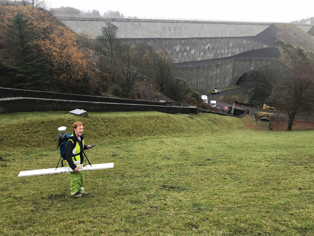
How can geophysical techniques be used to investigate and monitor leaking dams?
Dams are vital structures that contribute to vital infrastructure including drinking water, crop irrigation, and hydroelectric power. These structures, often over a century old are also put under huge stress by the large quantities of water they retain as well as significant environmental events. Hence monitoring dams and ensuring their safety is vital. Deformation of dams can occur because of erosion, hydraulic gradients, water load, and water saturation. That can put dams at risk of failure, possibly flooding homes, businesses, and farmland, and putting lives [...]