
GeoVoyager: A Collaboration with the Royal Society and Cowbridge School
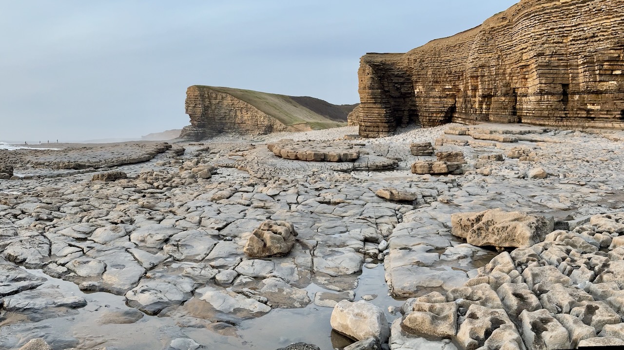
terradatseo2024-02-01T15:52:27+00:00We’re pleased to announce a partnership with Cowbridge School for an innovative educational project called GeoVoyager. The collaboration is made possible thanks to a STEM Partnership Grant from The Royal Society, the oldest scientific institution in continuous existence since 1660. GeoVoyager represents a collaborative effort to create an online 3D geological database harnessing our expertise in photogrammetry and laser scanning technologies. Our goal is to provide the A-level Geology students of Cowbridge School with a dynamic and interactive educational experience. [...]